
 |
|
Wide view on Google Earth Satellite
of Salesville, Arkansas, in relation to the Norfork Dam.
|
 |
| Closer view of Salesville, Arkansas, on Google Earth Satellite. |
 |
| Closer view of Salesville, Arkansas, on Google Earth Map. |
 |
| Arrow & Camera indicate the point of view of historical photographs, looking southwest. |
 |
|
Looking
southwest from 45 feet of Station 11+30, on center line extended,
along center
line access road showing general construction progress.
February
7, 1941, 9:35 a.m.
U.S. Army Corp of Engineers
Donald W. Reynolds Library Archives
|
 |
|
Looking
southwest from 45 feet of Station 11+30, along center line of completed access
road.
March
21, 1941, 11:00 a.m.
U.S. Army Corp of Engineers
Donald W. Reynolds Library Archives
|
 |
| Circa 1950's. Baxter County Heritage Center Archives |
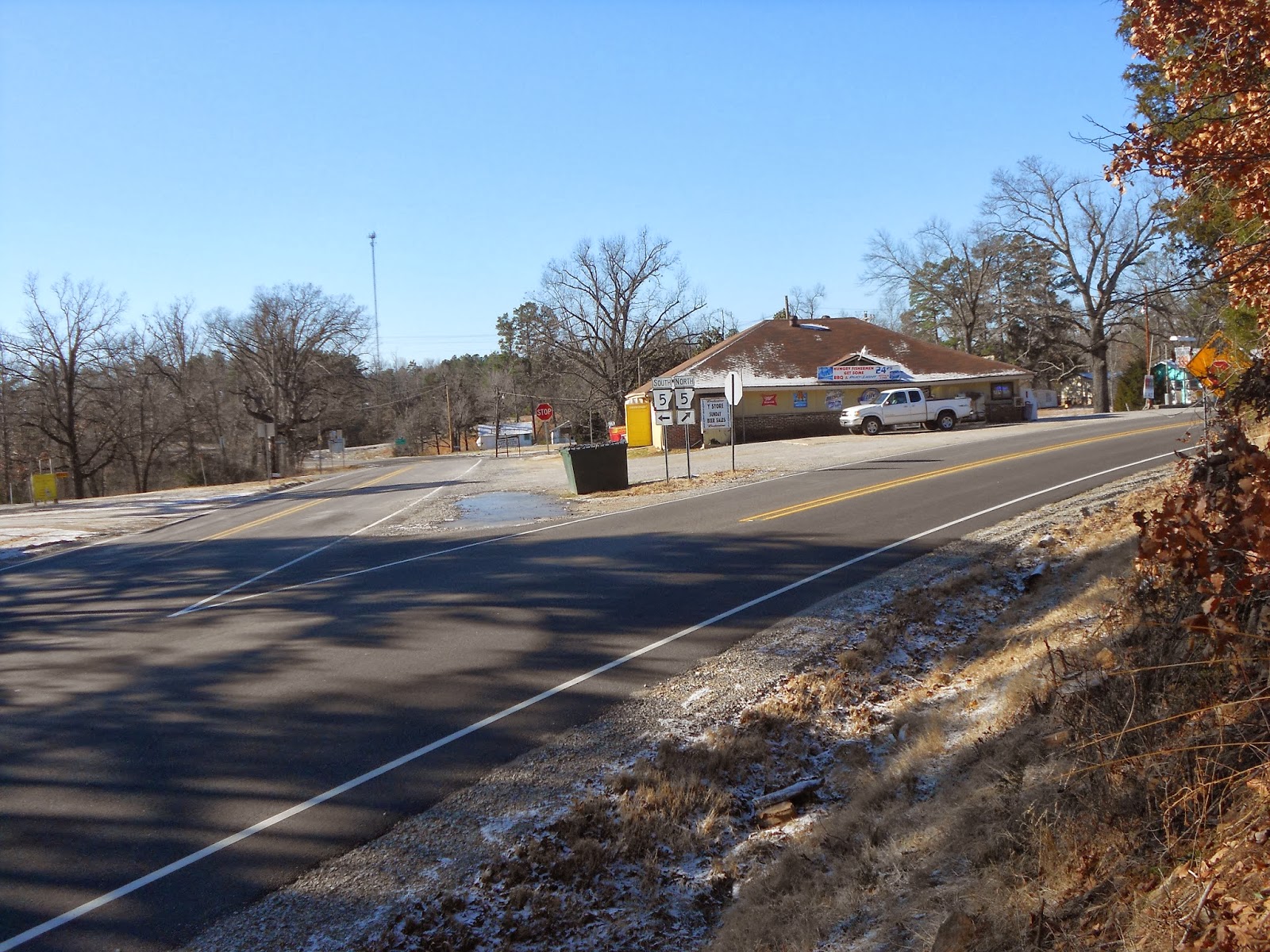 |
| December 21st, 2013. Photographed by Vincent S. Anderson |